Mountain Recreation Maps and Aerial Posters
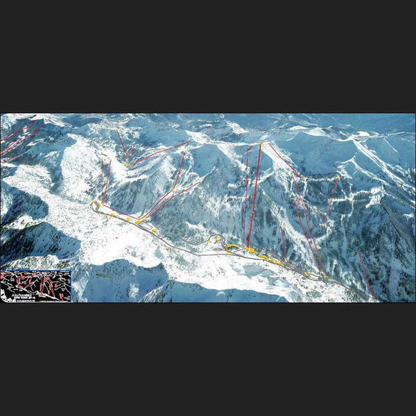
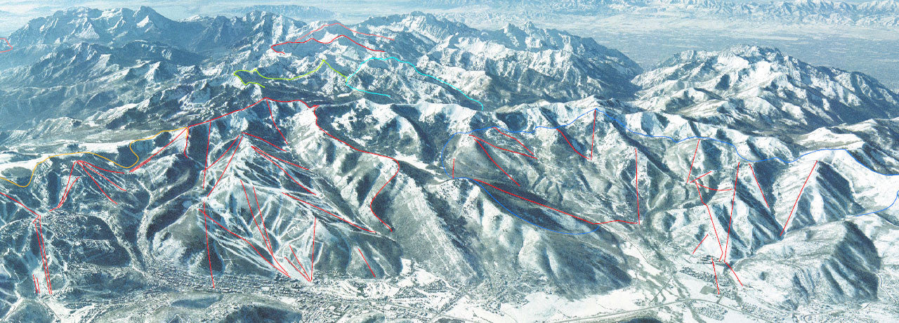
NOTE: Alpentech’s latest creation of the Wasatch Touring Series is Map 3 (Sundance south to Springville) includes oblique winter images of popular ski touring terrain that can be downloaded via QR codes shown on the map. These high resolution aerial photo images are similarly useful for summer mountaineering. - Map 3 includes avalanche path names to communicate activities.
NEW Maps Map 2 (Snowbird to Sundance), Map 4 (Ogden area) and the Stansbury Map are being revised. They will include Oblique Images accessible by QR-code.
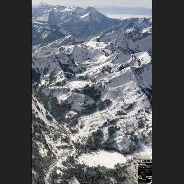
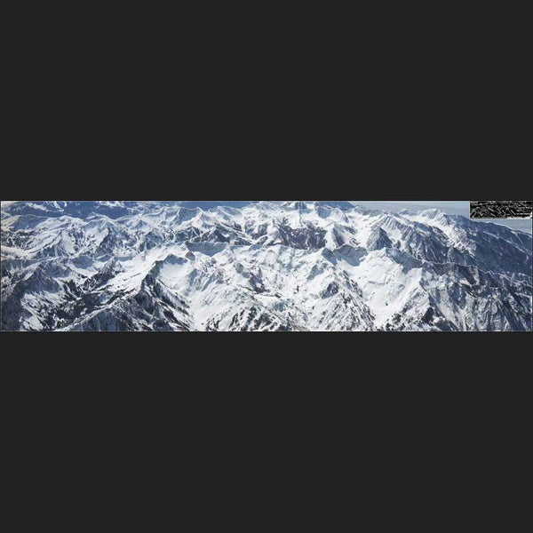
Alpentech Aerial Posters are from high resolution aerial surveying cameras and produced stunning images printed on non-fading high-gloss paper. For printing on acrylic glass please inquire, results are awesome!
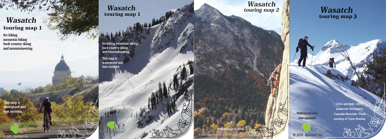
Alpentech's multipurpose backcountry recreation maps are excellent guides for hiking, mountain biking, cross-country skiing, backcountry touring, and ski mountaineering in the mountains and canyons near Salt Lake City. The maps identify private versus public lands. Known summer trails and metric UTM system and trailheads have GPS waypoints listed. The maps come in a handy 5x7" format. Unique to all Alpentech maps is that recent Google Earth image are substituting the green layer of USGS 7.5 minute quads allowing good terrain recognition, when digital map coverage is not available. A light afternoon shadow projection produces a 3D effect on a flat map.
Alpentech’s Wasatch Maps expand the detail found on other map series. The classic USGS quad maps are used as a background, reduced from 1"=2000' to 1"=3000'. Our Uinta Backcountry Series covers 21 USGS 7.5 minute quads, reaching from Kamas to Kings Peak. The Uinta maps have an enhanced ortho-topo map on both sides.