News
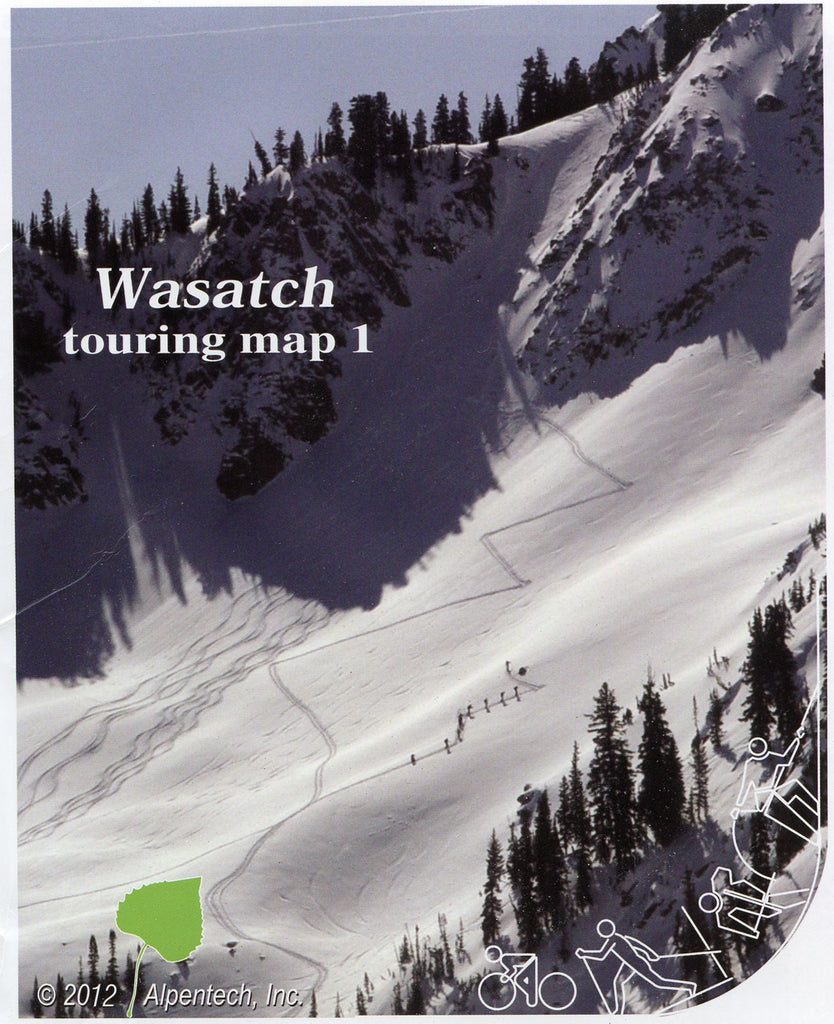
ON SALE! ~ Wasatch Touring Map 1 - Paper version
Utah County Backcountry Map ~ Wasatch Map 3
Our Utah County Backcountry Map is now available! Wasatch Touring Map 3. This Southern Wasatch mapping scope is very similar to the popular Central Wasatch Touring Maps 1 and 2. Our map shows the mountains and backcountry East of Provo with trail access and avalanche information from Utah Avalanche Center and UDOT forecasters with established UDOT Avalanche forecasting nomenclature. This new map 3 includes Mount Timpanogos, Sundance, the Cascade, Corral mountains to Springville, Buckley Mountain and Left Fork of Hobble Creek. Many beautiful hiking trails have much less use in this new mapped area, some are hard to find according to Junior Bounus our...